Temple Gate
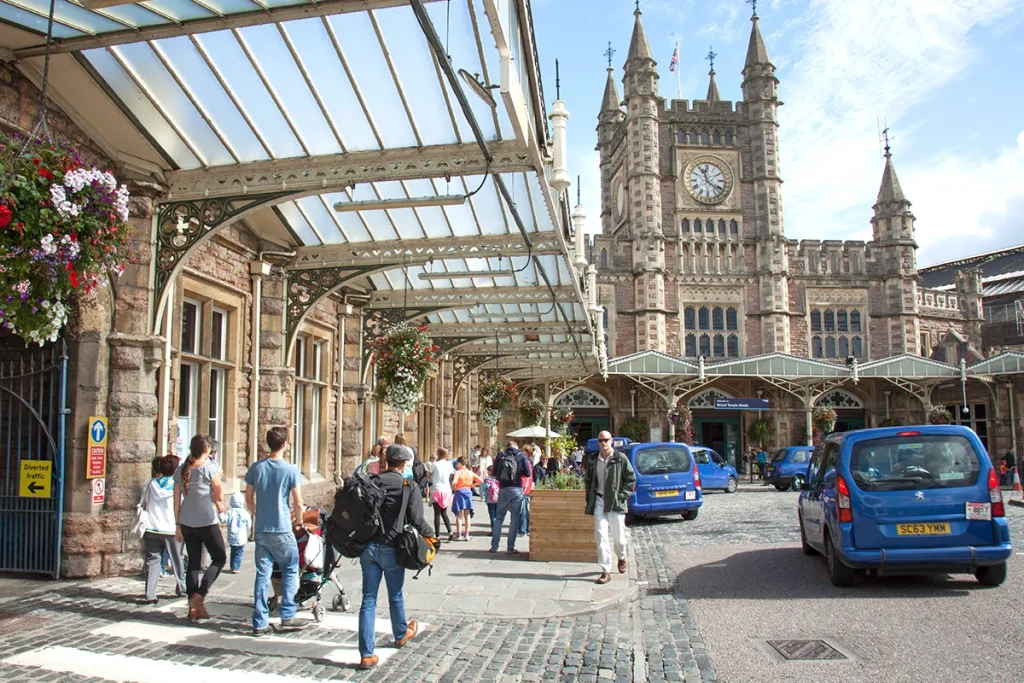
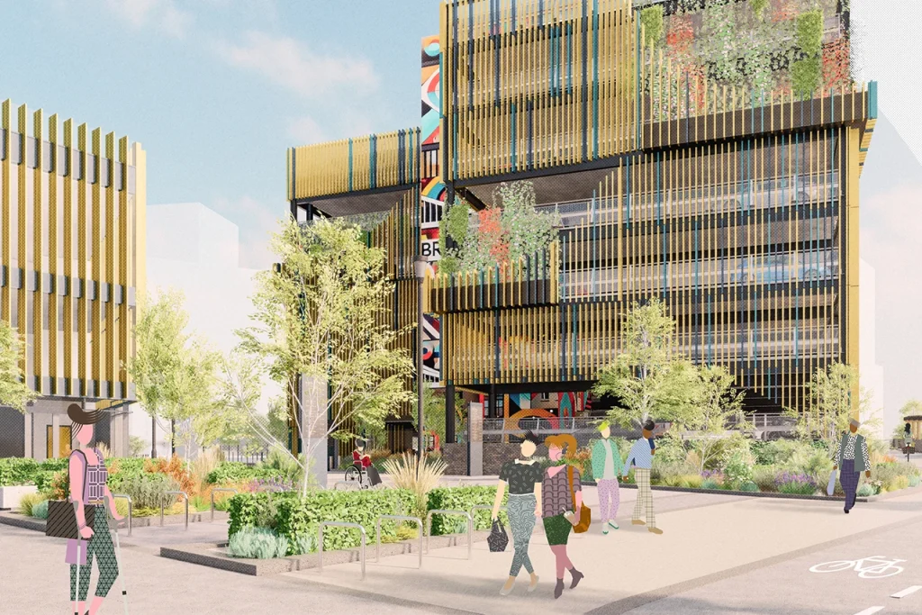
Our vision for Temple Gate is to enhance the setting of Temple Meads station in a way that reflects Bristol’s urban character, provides much-needed affordable homes and the infrastructure to support them.
Temple Gate’s ideal location close to Temple Meads station, public transport and walking and cycling links gives an opportunity to create an attractive, welcoming, and sustainable neighbourhood that has low car use and increases permeability through the site.
Reflecting the city’s ambitions to be net zero by 2030, an extension of the district heat network could provide homes and offices with low-carbon heating.
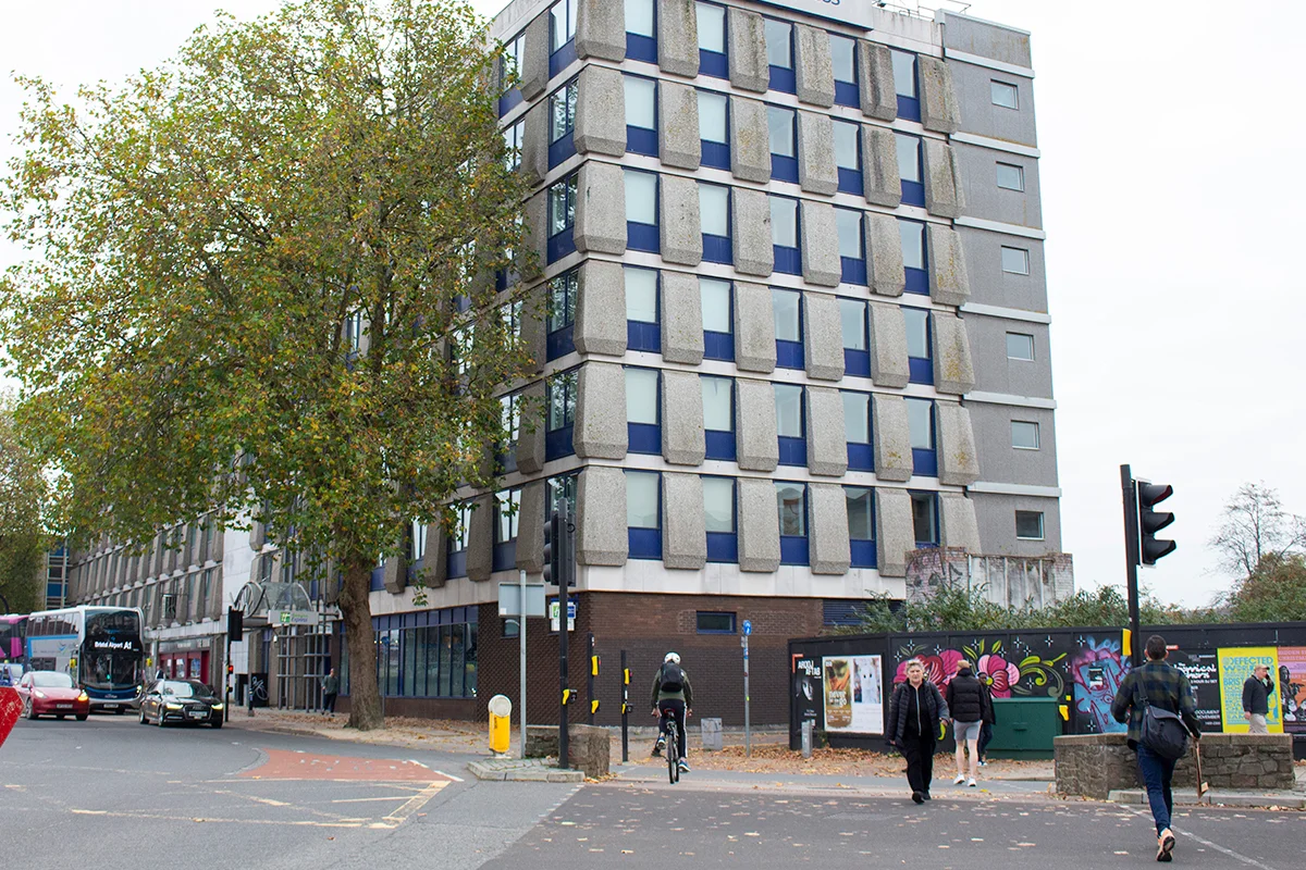
On the frontage to Temple Gate, a mix of uses could support high density city centre apartment living, alongside retail and office space. A new hotel within easy reach of the station could also face onto Temple Gate. Any new development would consider the impact on existing homes nearby, including at Temple Gate South, west of Chatterton Street.
The Bristol & Exeter Yard site could provide further new office space. Alternatively, the site has the potential to offer a range of transport options, meeting the city and region’s growing need for sustainable travel options.
Temple Square
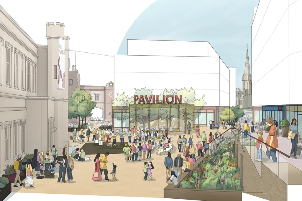
Just outside the regeneration area sits Temple Square, which forms a vital link between Temple Quarter and the rest of the city. This site could also be redeveloped to create a gateway development on the Brunel Mile.
Temple Gate infrastructure improvements
The Temple Gate infrastructure scheme was completed in 2019. It was designed to improve the journeys of the thousands of people that travel to and through the area every day and be a place where people can move conveniently between different modes of travel.
Aims of the scheme:
- A more direct road layout and changes to access;
- More space for people: high quality pedestrian and cycle routes;
- Better public transport facilities and information;
- Space for new buildings and public space.
A plan illustrating all aspects of the Temple Gate project can be downloaded (PDF 824KB), and you can view an aerial image illustrating the new road layout.